Government
Providing answers with data
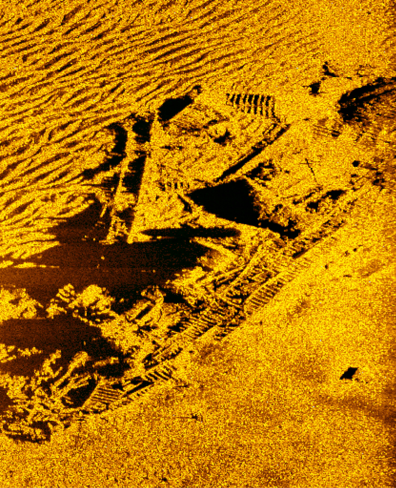
Seabed data is a vital source of information for a variety of government projects including hydrography programmes, research projects and search & salvage.
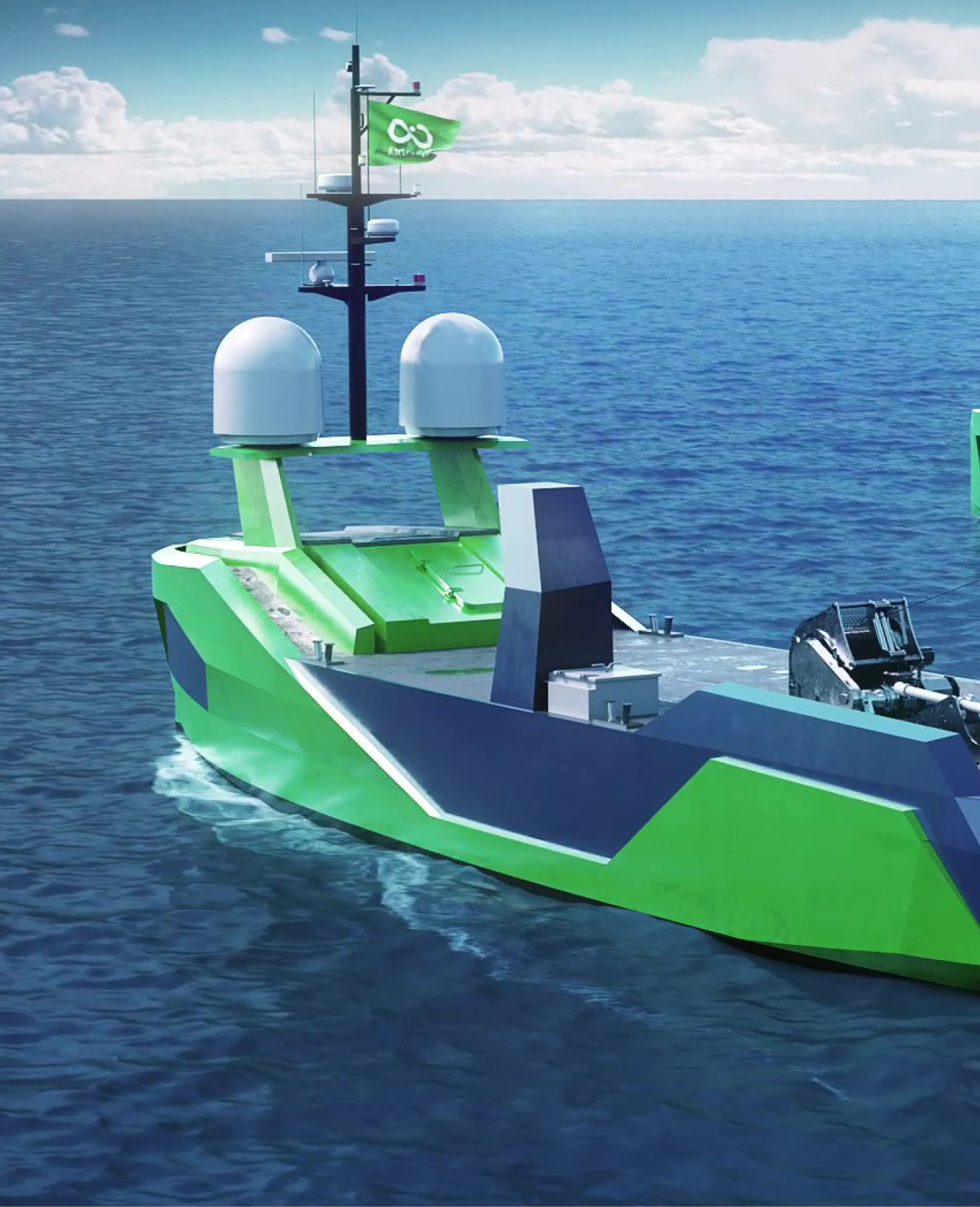
Using the latest remote and robotic technology, we provide vast quantities of data to aid important decision making and increase the understanding of our complex oceans.
Low emission data at unprecedented scales
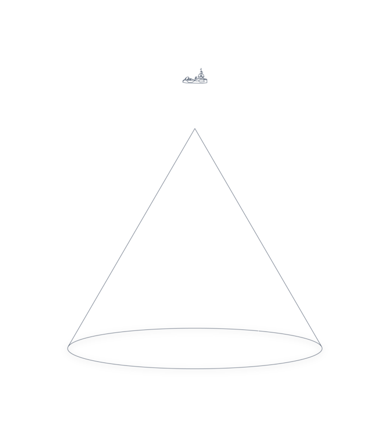
Using our remote and robotic technology we can provide data at scales previously thought to be impossible. With our unique ability, we can provide answers incredibly quickly.
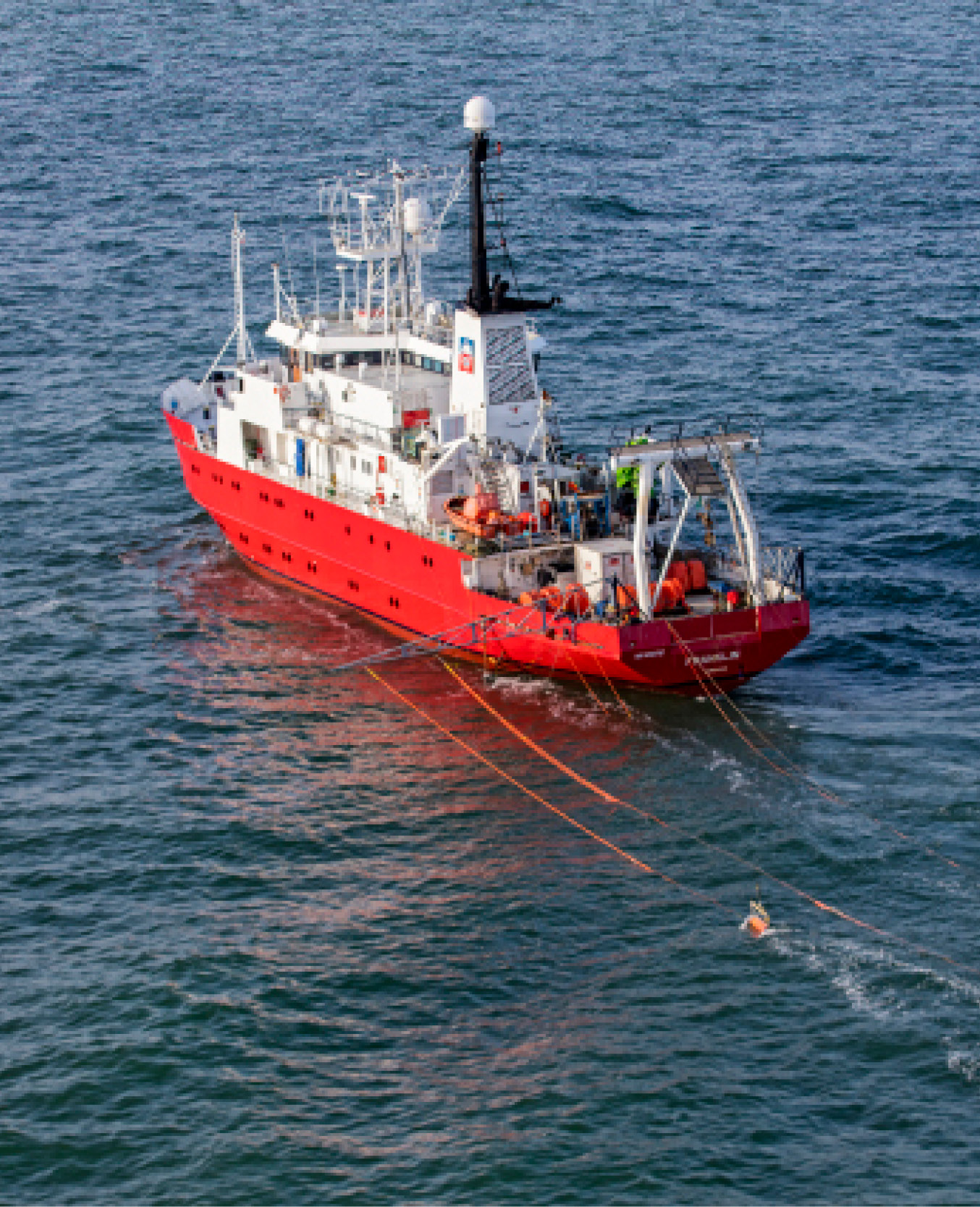
Using robotic technology has a much smaller environmental impact. The emissions from our operations are significantly lower than those emitted by traditional operations.

Services

Search and Salvage
Location and recovery services for lost assets, in shallow coastal waters down to the deepest parts of the oceans.

Research and Development
Support for government programmes through data acquisition, research projects and data analytics.

Hydrographic Survey
Acquisition of detailed bathymetric datasets to support national hydrographic programmes, UNCLOS survey work and EEZ mapping
Our People
Today, our team is made up of more than 500 technology and data specialists, spread among competences such as uncrewed vessel operators, ROV pilots, AUV operators, robotics engineers, payload specialists, data processors, surveyors, oceanographers, hydrographers.
